


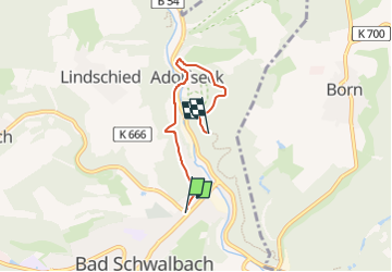

10,7 km | 14,4 km-effort

Tous les sentiers balisés d’Europe GUIDE+


Kostenlosegpshiking-Anwendung
 SityTrail
IGN / Geografische Institute
SityTrail World
Die Welt öffnet sich für Sie
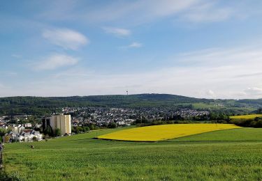
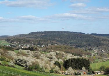
Tour Zu Fuß von 3,5 km verfügbar auf Hessen, Rheingau-Taunus-Kreis, Bad Schwalbach. Diese Tour wird von SityTrail - itinéraires balisés pédestres vorgeschlagen.
Trail created by Kur- und Verkehrsverein Bad Schwalbach.
Symbol: Braune 21 auf weißem Grund


Zu Fuß

Zu Fuß
Zu Fuß
Zu Fuß
Zu Fuß
Zu Fuß
Zu Fuß
Zu Fuß
Zu Fuß